-
Upazila related
Upazila introduction
History-tradition
Geographical and economic
অন্যান্য
-
Upazila Parishad
People's representatives
Activities of Upazila Parishad
উপজেলা পরিষদ তথ্য
Minutes of monthly meetings
Annual Financial Statements
Annual Development Plan
রিপোর্ট এবং অন্যান্য
Citizen Charter
Budget and Allocation
ADP Annual Report
Asset Register
Upazila Standing Committee Meeting Minutes
-
১) উপজেলা আইন-শৃংখলা বিষয়ক কমিটি
-
২) উপজেলা যোগাযোগ ও ভৌত অবকাঠামো উন্নয়ন বিষয়ক কমিটি
-
৩) উপজেলা কৃষি ও সেচ বিষয়ক কমিটি
-
৪) উপজেলা প্রাথমিক ও গণশিক্ষা বিষয়ক কমিটি
-
৫) উপজেলা মাধ্যমিক ও মাদ্রাসা শিক্ষা বিষয়ক কমিটি
-
৬) উপজেলা স্বাস্থ্য ও পরিবার কল্যাণ বিষয়ক কমিটি
-
৭) উপজেলা যুব ও ক্রীড়া উন্নয়ন বিষয়ক কমিটি
-
৮) উপজেলা মহিলা ও শিশু উন্নয়ন বিষয়ক কমিটি
-
৯) উপজেলা সমাজ কল্যাণ বিষয়ক কমিটি
-
১০)উপজেলা-মুক্তিযোদ্ধা-বিষয়ক-কমিটি
-
১১) উপজেলা মৎস্য ও প্রানি সম্পদ বিষয়ক কমিটি
-
১২) উপজেলা পল্লী উন্নয়ন ও সমবায় বিষয়ক কমিটি
-
১৩) উপজেলা সংস্কৃতি বিষয়ক কমিটি
-
১৪) উপজেলা পরিবেশ ও বন বিষয়ক কমিটি
-
১৫) উপজেলা বাজার মূল্য পর্যবেক্ষণ মনিটরিং ও নিয়ন্ত্রন বিষয়ক কমিটি
-
১৬) উপজেলা অর্থ বাজেট পরিকল্পনা ও স্থানীয় সম্পদ আহরণ বিষয়ক কমিটি
-
১৭) উপজেলা জনস্বাস্থ্য স্যানিটেশ ও বিশুদ্ধ পানি বিষয়ক কমিটি
-
১) উপজেলা আইন-শৃংখলা বিষয়ক কমিটি
-
Upazila administration
UNO Office
এ্যাপয়েন্টমেন্ট ও সভা
সেবা ও অন্যান্য
- Municipality
-
Government office
Law and order matters
Health matters
Agriculture and Food Affairs
Engineering and Communication
Human resource development issues
Education matters
others
Government Project Office
-
Other Institutions
শিক্ষা প্রতিষ্ঠান
বেসরকারী প্রতিষ্ঠান
- e-services
- online hearing
- Gallery
-
Upazila related
Upazila introduction
History-tradition
Geographical and economic
অন্যান্য
-
Upazila Parishad
People's representatives
Activities of Upazila Parishad
উপজেলা পরিষদ তথ্য
Minutes of monthly meetings
Annual Financial Statements
Annual Development Plan
রিপোর্ট এবং অন্যান্য
Citizen Charter
Budget and Allocation
ADP Annual Report
Asset Register
Upazila Standing Committee Meeting Minutes
- ১) উপজেলা আইন-শৃংখলা বিষয়ক কমিটি
- ২) উপজেলা যোগাযোগ ও ভৌত অবকাঠামো উন্নয়ন বিষয়ক কমিটি
- ৩) উপজেলা কৃষি ও সেচ বিষয়ক কমিটি
- ৪) উপজেলা প্রাথমিক ও গণশিক্ষা বিষয়ক কমিটি
- ৫) উপজেলা মাধ্যমিক ও মাদ্রাসা শিক্ষা বিষয়ক কমিটি
- ৬) উপজেলা স্বাস্থ্য ও পরিবার কল্যাণ বিষয়ক কমিটি
- ৭) উপজেলা যুব ও ক্রীড়া উন্নয়ন বিষয়ক কমিটি
- ৮) উপজেলা মহিলা ও শিশু উন্নয়ন বিষয়ক কমিটি
- ৯) উপজেলা সমাজ কল্যাণ বিষয়ক কমিটি
- ১০)উপজেলা-মুক্তিযোদ্ধা-বিষয়ক-কমিটি
- ১১) উপজেলা মৎস্য ও প্রানি সম্পদ বিষয়ক কমিটি
- ১২) উপজেলা পল্লী উন্নয়ন ও সমবায় বিষয়ক কমিটি
- ১৩) উপজেলা সংস্কৃতি বিষয়ক কমিটি
- ১৪) উপজেলা পরিবেশ ও বন বিষয়ক কমিটি
- ১৫) উপজেলা বাজার মূল্য পর্যবেক্ষণ মনিটরিং ও নিয়ন্ত্রন বিষয়ক কমিটি
- ১৬) উপজেলা অর্থ বাজেট পরিকল্পনা ও স্থানীয় সম্পদ আহরণ বিষয়ক কমিটি
- ১৭) উপজেলা জনস্বাস্থ্য স্যানিটেশ ও বিশুদ্ধ পানি বিষয়ক কমিটি
-
Upazila administration
উপজেলা নির্বাহী কর্মকর্তা
UNO Office
এ্যাপয়েন্টমেন্ট ও সভা
সেবা ও অন্যান্য
- Municipality
-
Government office
Law and order matters
Health matters
Agriculture and Food Affairs
Engineering and Communication
Human resource development issues
Education matters
others
Government Project Office
-
Other Institutions
শিক্ষা প্রতিষ্ঠান
বেসরকারী প্রতিষ্ঠান
- e-services
-
online hearing
list of case
admin login
-
Gallery
Photo gallery
Video Gallery
Basic Information:
Total area of upazila: 193.37 square km
Upazila Total Population: 2,74,273 people (as per 2001 census).
Male - 1,38,884, Female - 1,35,389.
Municipality: 1
Union: 7
Village: 155
Mouza: 127
Educational institutions:
01. Government Primary Schools: 74
02. Private Reg: Primary Schools: 61
03. Community Primary Schools: 05 (Government Run- 3, NGO Run- 2)
04. Lower Secondary School: 2
05. Secondary Schools: 46
06. School and College: 02
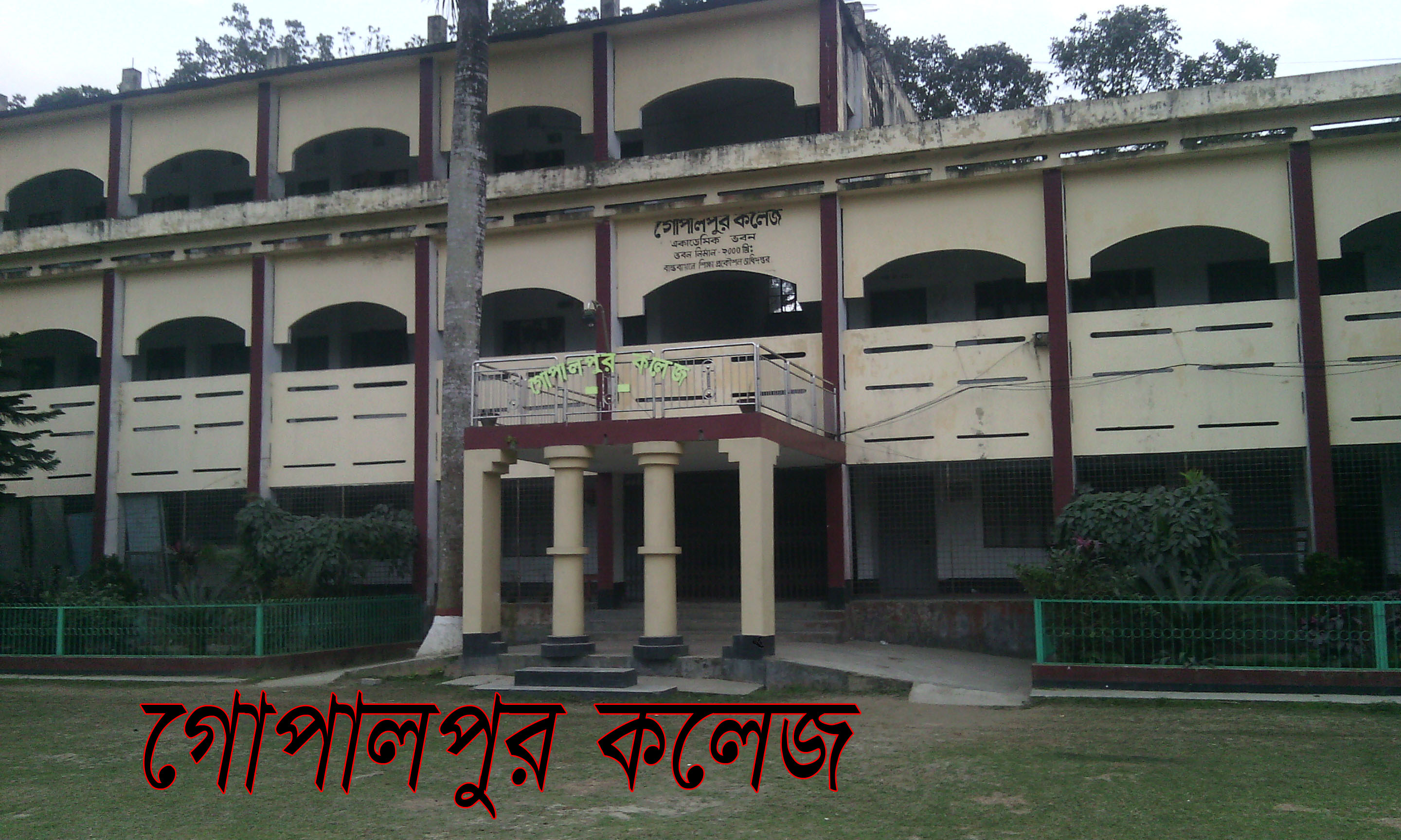
07. Colleges: 05
08. Education Rate : 43%
Religious institutions:
01. Senior Madrasa: 08
02. Dakhil Madrasa: 16
03. Ebtedayi Madrasa: 10.
04. Orphanage: 06
05. Number of mosques: 394
06. Number of temples: 38
Hospital/Health Centre:
01. Government Hospital : 01
02. Union Health and Family Welfare Center : 08
03. Sub-Health Center : 04
04. Number of Community Clinics: 24
05. Family planning units: 41
Agricultural Affairs:
01. Total land area : 19,148 hectares.
02. Number of farmer families: 53406
03. Number of landless families: 11,380
04. Number of marginal farmers: 33,787 people
05. Number of small farmers: 4,238 people
06. Number of medium cultivators: 3,639.
Industrial factory:
01. Brick Kiln : 03
02. Reich Mills: 34
03. Sa-Mil : 52
04. Hat factory: 01
05. Oil mills: 06
06. Petrol pump: 01
Other Institutions:
01. Number of Shelter Schemes: 01 (Alamnagar Shelter Scheme)
02. Number of Housing Schemes: 01 (Alamnagar Housing Scheme)
03. Number of Ideal Villages: 02 (Mohanpur and Naruchi)
04. Number of food warehouses: 04
05. Telephone Exchange: 01
06. Number of cinema halls: 02
07. Number of Postal Bungalows: 01.
Scenic spot:
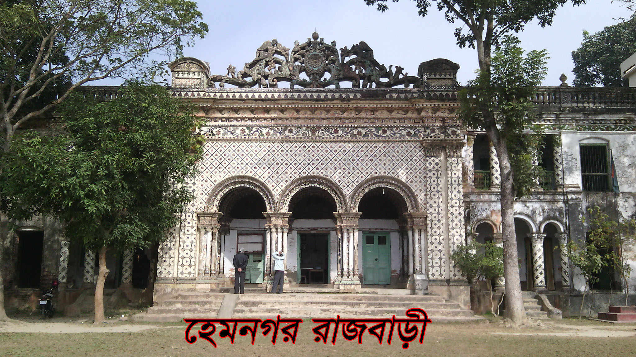
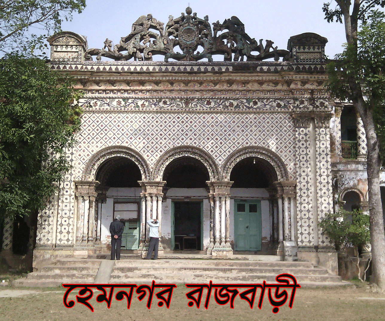
# Hemnagar Zamindar Bari
# Pathalia 201 Dome Mosque
#Khamarpara Mosque
#Khamarpara shrine
Planning and Implementation: Cabinet Division, A2I, BCC, DoICT and BASIS

.jpg)


